Cycling and the City
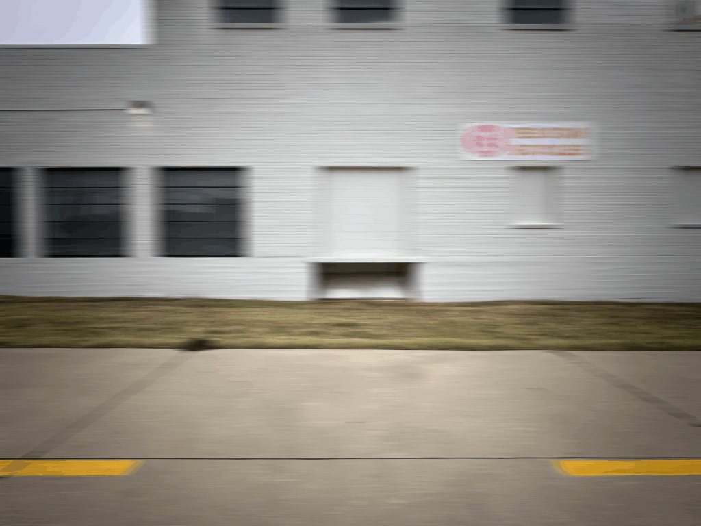
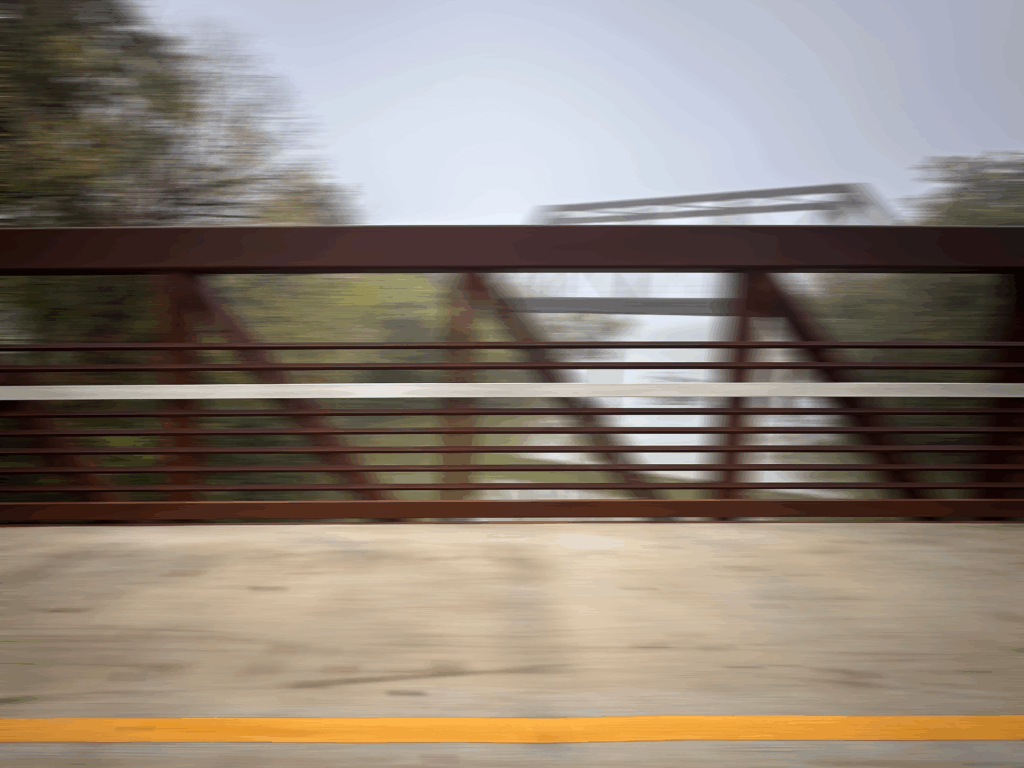
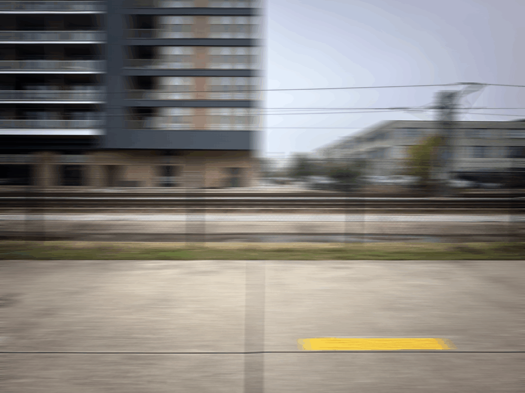
 Photos taken by the author while cycling in Dallas, TX
“Where did you come from?”
The trembling voice came from overhead, barely audible over her idling vehicle in front of me.
“From the hood of your car” I answered sarcastically, in shock from what had just happened. The question seemed odd at first, but how else could a driver justify hitting a stationary cyclist head-on with their car unless they believed I had appeared in the road like an apparition?
As I stood up to collect my water bottle from the nearby gutter, the next question came: “Why are you here?”
The morning of the accident started like any other. A quick breakfast followed by mapping a cycling route that looped to a new area of town. Starting from a high point on the University of Cincinnati campus, that morning’s route would take me west to Anderson Ferry Road, named for the only river boat crossing in the region.
Crossing the Ohio River on a ferry, which at the time had been in operation for 195 years, is an experience under any circumstances. But the enclosure of a vehicle separates you from much of what defines the short trip between banks. After riding down through the cool valleys to the river basin, the water radiating its heat is welcome and visible as steam rising just a few inches above the ferry deck. Looking east upriver, the sun begins to illuminate the fog and peak through the highest foliage of the surrounding hilltops. Standing on a wet plate steel surface, you could easily lose your balance as the engines belch out a thick puff of black fumes and the ferry lurches away from shore. The low frequency rumble of the engines hits your ears just before the smell of diesel and churning river water, snapping you back from any illusion that this is still the 19th century.
At the opposite bank, I pedal slowly up the steep drive toward the intersection with the road that runs parallel to the river. The cars in front of me have all already quickly turned right, likely heading up the hill to the airport. I wait to turn left, my head turning quickly back and forth after each car goes by, waiting for an opening to begin my ride back east into downtown Cincinnati. A vehicle approaching from the right begins its left-hand turn into the ferry access drive, cutting the corner short in a bid to catch the next ferry to the Ohio side. Unfortunately, I’m in the way.
So the question of why I was there, on a bicycle, at an intersection of a road utilized by vehicles as an alternative to the few congested highways that cross the river, was a fair one. But one that was easy to answer—to understand a city, you must cycle through it.
Cyclists and motorists need not always be in conflict. There are instances in which these two can coexist quite peacefully. When infrastructure, planning, policy, and law are all crafted to balance the scales, the result can be transformative for the livability of a place. Copenhagen, Denmark; Utrecht, Netherlands; Montreal, Canada; and Portland, Oregon have all developed the necessary infrastructure to support a robust cycling culture. But as necessary as these conditions are, they are not sufficient in themselves. Cultural acceptance, a temperate climate, and gentle geography are required for the widespread adoption of cycling. No amount of thoughtful planning would make San Francisco a cycling utopia. Cycling as the dominant form of transportation, while a lofty goal, is not realistic everywhere, but this does not discount it as a versatile means of moving through space, opening up new perspectives, interactions, and connections. The bulk of traffic flows through an urban network, and the myriad uses and forms of bicycles overshadow the simple beauty of the object. Taken on its own, the bicycle is a machine ideally suited for moving through any city.
The bicycle is an impressively simple and efficient mode of transport. More than 98% of the force applied to the pedals will be transferred to the wheels propelling you forward. This means that 100 calories can carry the average cyclist for miles. The physics of the wheel, frame, and steering only aid in this efficiency. The gyroscopic effect of the spinning wheels and the caster effect assist in keeping the bike upright when moving, further limiting the effort required to keep rolling.
It’s hard to argue against walking through a city as a means to deeply understand a place, but it is inherently limiting. The average walking speed is about 3 mph, while a comfortable cycling speed is 8-10 mph. This pace not only allows you to cover more ground, expanding the practicality of cycling between key places, but also compresses the time between different conditions, highlighting their differences. A vehicle physically isolates the rider from their surroundings. On a bicycle, all the senses are engaged. Changes in paving pattern are not just seen but felt. Cycling provides a compressed continuity to the experience of moving through the city, providing an awareness of differences along the route that may be overlooked at the speed of walking. Elements unrelated in space become connected through time. A similar guardrail detail or a buried tram rail emerging from a thin cover of asphalt miles away from each other are suddenly linked—details overlooked if in a car or on foot. Such details are unlikely to be experienced closely enough in time to appreciate their connections.
“Dallas will never be Copenhagen” is a common refrain when discussing improvements in cycling infrastructure. Alas, “Dallas will never be (insert other city name)” is a common refrain when discussing any meaningful change. This dismissiveness overlooks the history of these other cities and the work needed to achieve the current state.
Even in Copenhagen, as development patterns that prioritized the car were starting to take hold, cycling as a mode of transport fell to a low of 10% in 1972. Key policy decisions in the 1970s began to pave a new path for two-wheel transport, both literally and politically. But cycling as a core political agenda item, along with broader cycling infrastructure improvements, did not emerge until the 2000s. Copenhagen has not always been, and was not predestined to be, a city that now sees bicycles used for nearly 45% of all trips taken.
Dallas will never be Copenhagen if the benchmark is a similar number of commuter cyclists. The full Oscar Wilde quote is worth noting here. “Imitation is the sincerest form of flattery that mediocrity can pay to greatness.” A vision of simple imitation impedes the goal of developing cycling infrastructure that embraces the unique urban, environmental, and social conditions of each neighborhood—and as a piece of connective infrastructure, improves the city at large. This also overlooks the lobbying, activism, and careful planning that had to take place over decades to make the cities we look to as the exemplars of cycling infrastructure what they are today. In itself, providing a safe and integrated network of bike lanes throughout a city at the same latitude as North Africa and built so enthusiastically around the automobile is a losing proposition. Dallas should not try to be Copenhagen. Dallas must define its own cycling experience that opens new ways to navigate the city in tandem with targeted on-road improvements. A cultural change in perception about cycling’s place in the city is needed first and will do more to advance the adoption of the bicycle for all purposes than infrastructure improvements alone will. Establishing a core network that is accessible to a broad swath of the city and is centered on safety is an effective place to start. Fortunately, a major step toward this goal is already underway and there is reason to be optimistic.
The Loop Dallas, a nonprofit founded in 2014, has entered into a public-private partnership with the City of Dallas Park and Recreation department to complete a 50-mile loop that will connect Dallasites to each other and to nature. While Dallas has had several trails, they lacked key connections, sometimes ending within sight of each another but without a safe means to bridge the gap. The Loop creates 11 miles of new trail to join over 10 existing trails in a single circuit. Once complete, key landmarks across the city will be linked by the pathway: the Trinity Audubon Center to the Katy Trail Ice House; the Dallas Arboretum to Joppa Park; and Harold Simmons Park to the American Airlines Center.
Philip Hiatt Haigh, the executive director of The Loop Dallas, admits that a completed loop is only one piece of the puzzle. Trails can form the backbone of a cycling network but “a trail cannot connect to everyone’s front yard,” he notes. On-street infrastructure must improve so residents feel safe riding from their house to the trail. But Hiatt Haigh has already seen the impacts this new connective infrastructure can have on residents and their perception of the city. Traveling via newly created connections between trails, a new cyclist and her husband pedaled from the Trinity Forest Spine Trail, near the White Rock Lake Spillway, to the Katy Trail Ice House on the Katy Trail. Despite having lived in Dallas her whole life, this journey left her “feeling like I’m seeing the city for the first time.”
Much of the existing network of trails have repurposed abandoned rail lines, captured space adjacent to the DART rail, or occupied electrical utility zones. This is an expedient way to quickly adapt underutilized areas for trails but limits the connectivity of these trails to the city itself. They provide a safe means to cycle between key nodes on the loop, but the journey itself lacks the experience of the changing conditions along the way. Rather than a compressed continuity, a trail can become as isolating as a highway drive. At points along the So-Pac or Katy Trail, the isolation from the city provided by the vegetation can be a welcome surprise. But with few points of connection with the urban fabric nearby, access to this experience is limited. More integration with the surrounding city will come with time as The Loop is completed, and as transformative as the trails alone can be, the real opportunity lies in establishing them as a new platform for urban interaction. A trail may offer respite from the congestion and noise of the city, or a convenient connection between two points, but it can also serve as a linear urban space. Just as the trails were created by bringing an additional layer to an existing base infrastructure, the trails can be enhanced beyond a connective network into a piece of social infrastructure with a new layer of social, cultural, and commercial activity.
The Loop Dallas’ next endeavor is to do just that, by establishing a cohesive experience and sense of place along the newly unified trail, leveraging the activity and identity in each neighborhood it connects. Hiatt Haigh characterizes this as “bringing a different type of culture to Dallas”—one built around linear public space that blends community, exercise, art, and commerce.
The Coulée verte René-Dumont in Paris, the High Line in New York City, and the Bloomingdale Trail Park in Chicago all show the transformational impact a connective element can have, thereby providing a different perspective of the city and its own unique experience. The High Line has a world-class art program and now attracts 8 million visitors a year. In Northwest Arkansas, on the edge of Bentonville, a coffee shop recently opened along the Applegate hike and bike trail. It has been wildly successful, despite the trail being the only means of access. But each of these trails is no more than a few miles long and limited to just one area of the city. The Atlanta Beltline is a close corollary to The Loop and illustrates the transformative potential of a contiguous link between a city’s neighborhoods. Once complete, it will create a 22-mile loop encircling the urban core of Atlanta.
Copenhagen, beyond its cycling network, also offers one of the best examples of how to layer cultural expression on a linear public space. Superkilen Park has distinct zones for recreation, social gatherings, and fitness which incorporate elements from the 62 different nationalities represented in the surrounding neighborhood. Of course there is a bike path, but at less than half a mile long, the focus is on connecting the local community with the immigrant population, thus establishing a shared ownership of public space.
Dallas now has the opportunity to take the best aspects of each of these and create a unified cultural element. A ride along the Skyline Trail from the semi-abstract concrete cows grazing the man-made Trinity Basin, to Moore Park and its natural winding perimeter formed by Cedar Creek, reveals the extreme lengths taken to control the immense power of nature. The glass and concrete towers of modernity fade around the bend as the resilient vernacular of shotgun homes and intimate front porches of The Bottoms come into view. The slow climb out of the White Rock Creek Basin along the Santa Fe Trail reveals both glimpses of the modern city and reminders of the previous life of this corridor with shops fronting the former rail line. Taken together, these experiences along the trails reveal the city over miles. Glimpses of history, misplaced ambitions, thoughtful detailing, grave injustices, unspoiled nature, waste, noise, wildlife, music, art, roadkill, potholes, and puddles. Experienced not all at once, but understood as all part of an imperfect whole. Tying these distinct experiences together will require coordinated effort, but cultural shifts are moving in the right direction. A rise in interest in outdoor physical fitness and cycling was kicked into overdrive during the pandemic and has created more demand for trails. The electrification of bicycles and other transport is opening the modality to new users and uses, particularly in climates where riders will break a sweat even with modest effort. Early successes like the Katy Trail, and eye-catching landmarks like the University Crossing bridge over Mockingbird Lane and the Northaven Trail bridge over US-75, bring attention to the trail network and the potential it holds.
A complete loop encircling the urban core—activated with artwork, events, and dining, all woven into the cultural fabric of our diverse neighborhoods and connecting the city to its natural surroundings—is a not-too-distant vision. Today, to truly experience Dallas, you need to cycle through it. Soon, an understanding of Dallas will be incomplete without a ride around The Loop.