Between the Banks
There is a familiar pattern in the history of American cities in which nearly every generation imagines that its waterways can become public assets. Architects produce beautiful renderings of riverwalks; city leaders announce ambitious greenway plans; master plans promise continuous trails, restored ecosystems, and neighborhoods connected by ribbons of parks.
Some of these visions become reality, but many never do.
Dallas is no exception. Over the last century, planners, landscape architects, engineers, and civic organizations have repeatedly imagined a city whose waterways serve as the framework for recreation and public life.
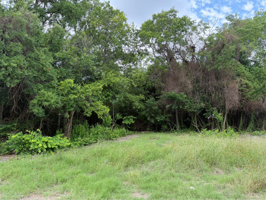
That gap between aspiration and reality became much more tangible to me once I started paddling Dallas’ creeks myself. The creeks reveal hidden landscapes, unexpected wildlife, and miles of public land that, by virtue of accessibility, don’t feel public at all. What looks from the street like leftover land begins to look different from the water. These narrow, irregular landscapes are not gaps in the city so much as, I would come to learn, traces of how the city was made—places where water repeatedly complicated Dallas’ ambitions to build.
Water and the Dallas Park System
Many of Dallas’ parks have origins relating to water infrastructure. Waterways create difficult land—developing floodplains presents challenges, and building along steep banks is expensive. Low-lying ground requires constant drainage and flood management. As Dallas grew through the 20th century, city leaders dammed White Rock Creek to create a reservoir of drinking water;1 land adjacent creeks was acquired to manage storm drainage; Mill Creek was largely buried in underground pipes to mitigate flooding and allow further development;2 and prominently, the Trinity River was rerouted and enclosed by levees following the Flood of 1908.3 However, Dallas’ investment in infrastructure, including water infrastructure, was not treated equitably—segregated Black neighborhoods were often excluded from equal investment, which left them with poorer access to parks, clean water, and even protection from flooding after the city built the levees.3,4 The predominantly Black community of Bonton, for example, was not included in the flood protection area created by the levees; this resulted in the constant flooding Bexar Street, the neighborhood’s primary road. It wasn’t until 1991 that, following significant flooding in 1989 and 1990 that displaced hundreds of residents, the Rochester Levee was finally built to protect Bonton.5, 6
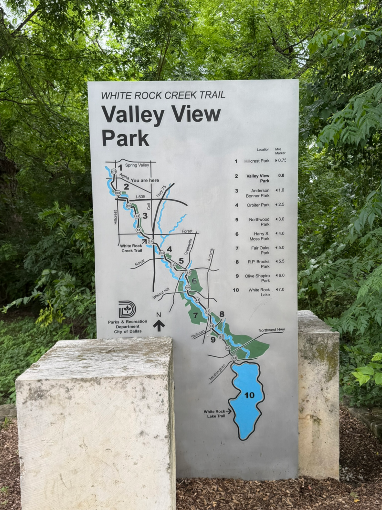
Today, some of Dallas’ most prominent public spaces have some relationship to water. The White Rock Creek Trail connects countless neighborhoods along its length, creating an expansive network of parks and public spaces along White Rock Creek. George Kessler’s city plan transformed Turtle Creek from a natural drainage corridor into a defining landscape that became a focal point of the neighborhood.7 Countless more tributaries flow behind fences, through utility corridors, and between backyards, without any recognizable public identity. Creeks contain mature trees that double as wildlife habitats, and they physically connect neighborhoods that a highway, a rail line, or decades of disinvestment have otherwise kept apart. They offer something simple but nonetheless important—the chance to be outside and experience nature, even in the heart of a sprawling metro.
Seeing Creeks from the Water
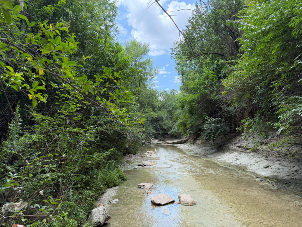
As a transplant who grew up in Las Vegas, I was surprised by the sheer amount of water in North Texas: the Trinity River with its numerous branches; the creeks snaking their way through or under the city, disappearing and reappearing again; the dams and lakes; and the detention ponds scattered across the metro. Most of my experiences with water in Dallas have occurred passively from the car—as brief glimpses of creeks beneath bridges or quick views down long sightlines of water and trees that break up the typical rhythm of urban development. It wasn’t until I bought a canoe that I finally acted on this growing curiosity and found that, from the water, Dallas can feel surprisingly wild.
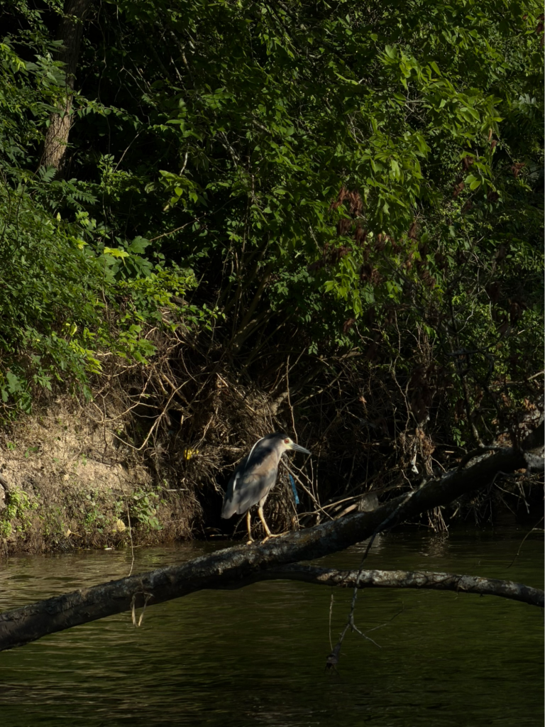
Beyond the dense foliage separating waterways from roadways, along the muddy banks, or exposed layers of Texas limestone, if you look carefully and wait a little while, wildlife will inevitably show up. Minnows, dragonflies, and water bugs dart above and below the water, scattering as an egret lands, looking for its next meal. Songbirds sing from canopies, and the occasional great blue heron perches on a tree branch. As the sound of cars gives way to running water and cicadas, it’s easy to forget you’re in the middle of a city, possibly just a stone’s throw away from someone’s backyard or a strip mall.
I chose to start with someplace familiar and launched from White Rock Lake. Parkgoers and pavement quickly disappeared as I paddled under the Mockingbird Lane bridge and began working my way north on White Rock Creek. For short segments, when I was surrounded by trees along the banks, I felt as though I was 50 miles from where I had begun. It was a strange feeling, being able to temporarily suspend disbelief and disappear from the familiar to more fully experience nature, all while knowing in the back of my mind that I hadn’t really left. Just as quickly as signs of the city disappeared, they reappeared again, along with one of the most unfortunate signs of civilization: trash, in ever-increasing amounts the further I paddled.
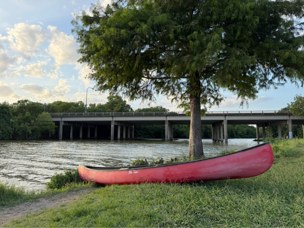
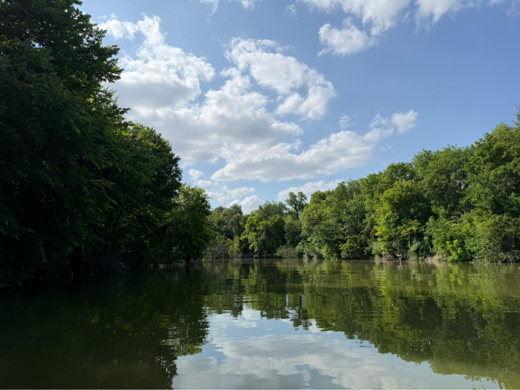
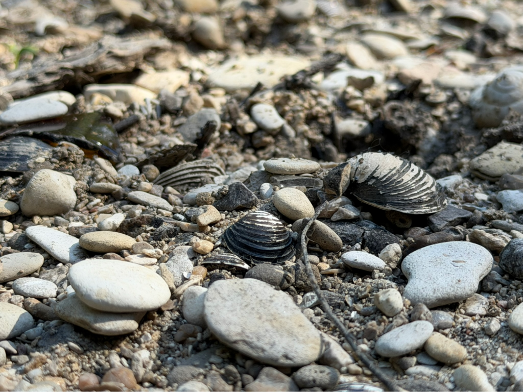
White Rock Lake and the White Rock Trail represent the well-resourced components of the Dallas Parks and Recreation system. Since their creation, the lake and trail have incrementally expanded with a steady stream of public funding and private donations, developing into today’s expansive regional park network. Even with all this investment, it shocked me to see the sheer amount of trash in the water.
Plastic bags snagged onto low branches like Spanish moss. Bends in the creek trapped bottles and foam cups until they formed a raft of debris. The further I traveled upstream, and the further away from the more heavily trafficked areas, the denser and larger the trash accumulations became. I started to see old tires, dented car bumpers, a garbage roll-cart, and so on and so on. Soon after seeing the roll cart, a downed tree forced me to turn back. By then, I had already seen enough trash to fill at least a few dumpsters, and this was only what I could see. A second trip up the Elm Fork in the Frasier Dam Recreation Area resulted in a similar experience—the initial sense of disappearing into nature was broken by the abundance of trash that surfaced.
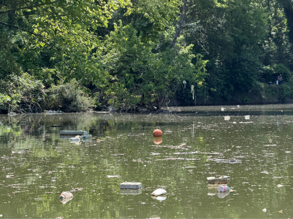
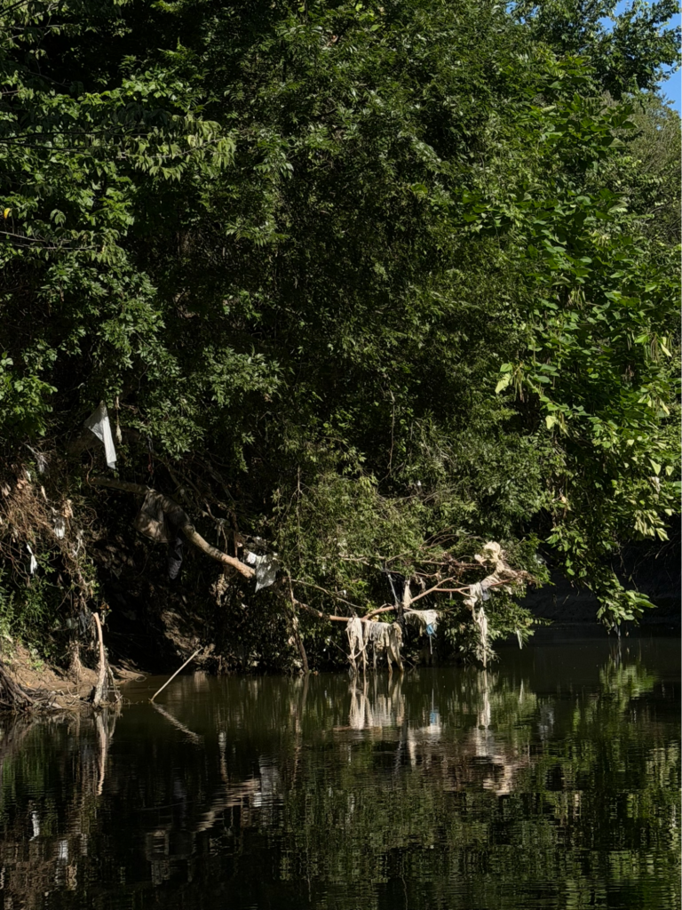
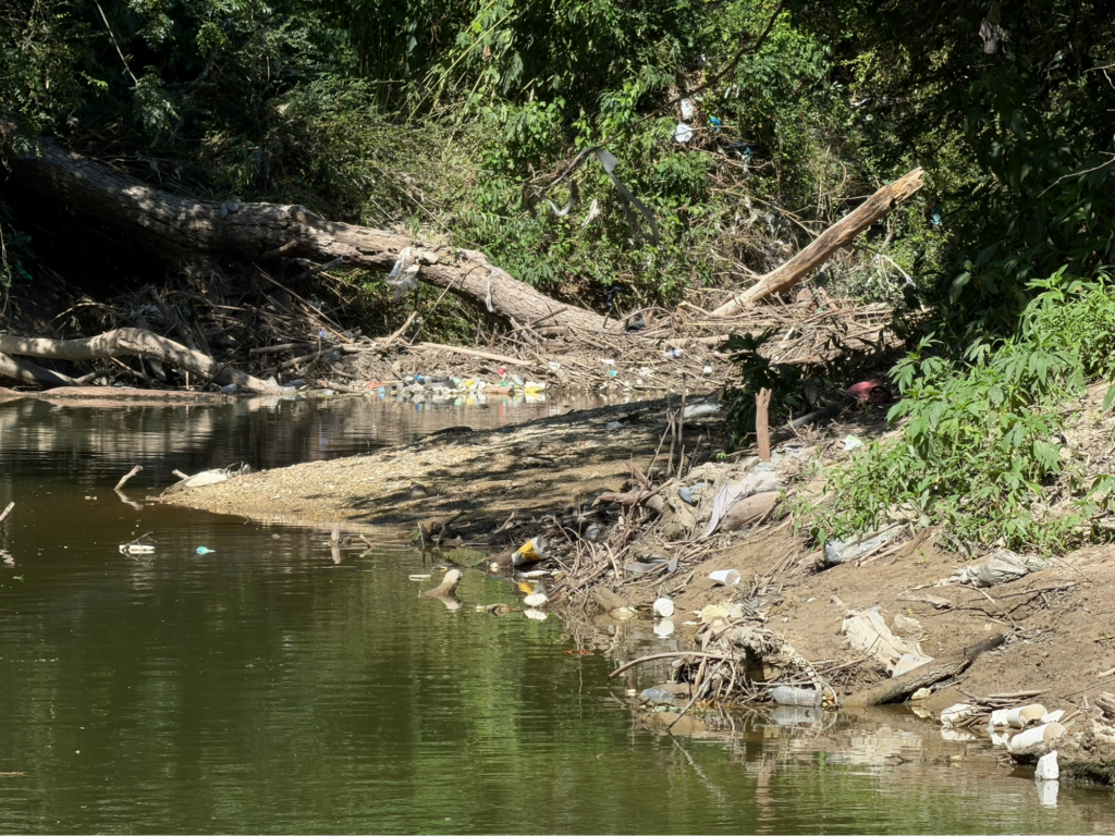
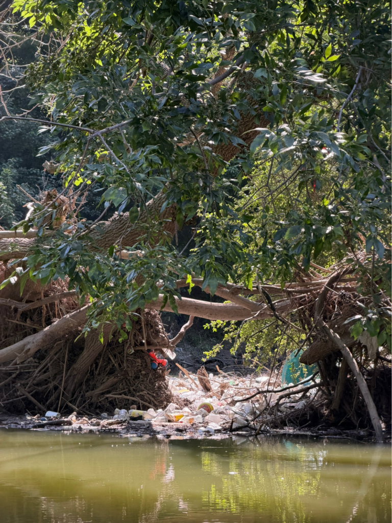
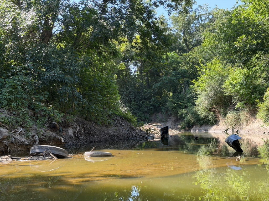
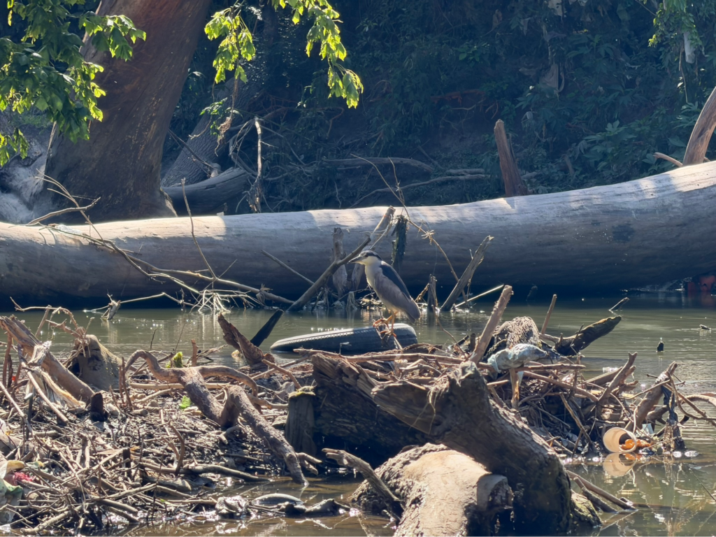
These experiences left me wondering about how the city manages its waterways. With some research, I discovered that the City of Dallas Stormwater Compliance division is responsible for “conduct[ing] maintenance operations in response to creek/channel complaints and maintenance requests,” colloquially known as responding to 311 calls. The department quantifies their impact in its annual reports; for the reporting period spanning October 1, 2024, to September 30, 2025, it addressed 853 requests, which exceeded its goal of responding to 600 requests per year.8 However, the department doesn’t qualify the nature of its resolutions. I saw some banks of White Rock Creek with trash embedded in layers like fossils from different geologic eras—who knows how long it’s been there?
And these were just experiences on public land—the City of Dallas does not maintain creeks on private property.9 This unfortunately means that when trash and debris inevitably work their way into the waterways, a significant portion of necessary creek maintenance falls on private citizens. This doesn’t even address the challenges of erosion, the resulting need for soil stabilization, and the price tag that comes with it.
The Commons Already Exists
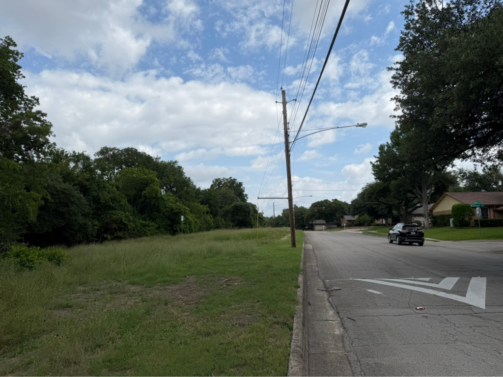
On the other end of the spectrum, many smaller strips of city-owned land along creeks might appear as little more than empty buffers or leftover space. These same sites possess qualities that contribute to successful neighborhood parks—they’re close to homes, shaded by mature trees, ecologically valuable, and already connected to a broader green network by virtue of being a creek. Yet little indicates that someone cares for these spaces and that people are welcome. Without maintenance over time, a vacant space will start looking less like a potential neighborhood amenity and more like a convenient place to dump.
Beyond George Kessler, many individuals and organizations have explored the potential for creeks and waterways to create a greater park network. The late landscape architect Kevin Sloan advocated for the Dallas-Fort Worth Branch Waters Network—an ambitious reimagining of the region’s roughly 300-plus miles of underutilized natural drainage—as an organizing structure for new growth in an already substantially developed metropolitan area. These “branches” of creeks and waterways would serve as both urban connectors from which new, denser neighborhoods would develop, as well as sites for natural habitat restoration; this would result in an environment where “nature and city coexist in a relationship that is more superimposed than [geographically] segregated.”10
Work by the Trust for Public Land (TPL) taps into the potential for creeks to help bridge park access disparities throughout Dallas. When completed, the Five Mile Creek Greenbelt master plan will deliver 17 miles of trail, largely following Five Mile Creek and connecting new and old parks to Dallas’ greater trail system. In contrast to the destination parks, TPL’s proposed parks are identifying smaller opportunities at the neighborhood scale to maximize their impact on eliminating “park deserts”—places where residents lack access to a park within 10 minutes of where they live.11 Its approach toward the Five Mile Creek also focused heavily on site restoration by removing invasive species and reseeding native species to create more natural experiences. As Molly Morgan, TPL’s Texas State Director, describes it, “50% of the work is addressing [existing] vegetation and working with the community on the park programming.”12
Programming becomes particularly important when working with land that communities have viewed—sometimes for decades—as neglected or unsafe. Morgan describes the need to create a “design gradient”—people need to arrive at a space that feels taken care of and welcoming (think well-lit paths, benches, trash cans, etc.) before progressing toward a more natural experience. The point is not to turn every creek bottom into a manicured city park but to invite people back into a landscape that they may have spent years learning to avoid.
Still, habitat restoration is not a new way of thinking, and describing it as such ignores a much longer history. Rather than treating nature as something separate from human life, indigenous peoples utilized and stewarded the rivers, creeks, prairies, and forests of North Texas long before Dallas existed.13, 14 The modern history of Dallas has often moved in the opposite direction: generally regarding waterways as something to be engineered away to allow for growth. Looking toward the future of the city’s creeks therefore also requires looking backward—recognizing both the consequences of recent history and the much older tradition of understanding land through stewardship across generations. Efforts like Five Mile Creek demonstrate that attention itself can be consequential: learning what is there, caring for it, making it accessible, and giving the people who live alongside it a stake in its future. Dallas’ creeks have always been valuable natural resources—the question now is whether we can learn to see them that way again
Acknowledgements
I’m no expert on the topics above and have pursued this out of curiosity to broaden my understanding of Dallas waterways. I’m thankful to the editors of Columns for helping structure the direction of this article and referring me to experts on the subject matter. I would like to thank Molly Morgan for sharing her time, insight, and helping shape my understanding of what thoughtful, community-centered stewardship can look like in Dallas. Lastly, I would like to thank Lawrence for selling the canoe that set this whole train in motion.
Footnotes
- White Rock Lake Conservancy, “Historical Timeline,” in “The Story of White Rock Lake & Park,” White Rock Lake Conservancy. ↩︎
- Michael V. Hazel, “Browder’s Springs,” Handbook of Texas Online, Texas State Historical Association, November 1, 1994, accessed July 27, 2026, Texas State Historical Association. ↩︎
- Daniel Norwid, Anne Gibson, and Kevin Stone, Below the Dallas Floodway: Urban Development along the East Bank of the Trinity River, 1872–2020, Dallas, Texas (McKinney, TX: Integrated Environmental Solutions, LLC, November 2022), 8, prepared for the U.S. Army Corps of Engineers–Fort Worth District and Texas Historical Commission, U.S. Department of Defense. ↩︎
- City of Dallas, Office of Equity and Inclusion, 2022–2023 Racial Equity Plan (Dallas: City of Dallas, 2022), 40, City of Dallas Racial Equity Plan. ↩︎
- Payne, Briana. Oral History of Bonton and Ideal Neighborhoods in Dallas, Texas. Master’s thesis, University of North Texas, 2015. University of North Texas Digital Library. https://digital.library.unt.edu/ark:/67531/metadc848166/m2/1/high_res_d/PAYNE-THESIS-2015.pdf ↩︎
- U.S. Army Corps of Engineers, Fort Worth District. Dallas Floodway Timeline: 1908–2013. Fort Worth, TX: U.S. Army Corps of Engineers, 2013. https://www.swf.usace.army.mil/Portals/47/docs/PAO/DF/PDF/Dallas_Floodway_Timeline_1908-2013.pdf ↩︎
- Texas State Historical Association, “Turtle Creek (Dallas County),” Handbook of Texas, Handbook of Texas. ↩︎
- City of Dallas, Stormwater Management Program: PY1 Annual Report, TPDES Permit No. WQ0004396000, October 1, 2024–September 30, 2025 (Dallas: Dallas Water Utilities, 2025). ↩︎
- City of Dallas, “Floodplain and Drainage Management,” Dallas Water Utilities, City of Dallas. ↩︎
- Kevin Sloan, “Waterway Urbanism,” Texas Architect, February 28, 2017, Texas Architect. ↩︎
- Trust for Public Land, “Five Mile Creek Greenbelt,” Trust for Public Land. ↩︎
- Molly Morgan, Texas state director, Trust for Public Land, interview by author, July 10, 2026. ↩︎
- Texas Historical Commission. “Soohee: Prairie.” Caddo Voices Virtual Exhibit. https://learning.thc.texas.gov/caddo-culture/virtual-exhibit/prairie/. ↩︎
- Swearingen, Adele. “Caddo Mounds: Learning from and Supporting the First Farmers in Texas.” Natural Resources Conservation Service, U.S. Department of Agriculture. August 26, 2022. https://www.nrcs.usda.gov/state-offices/texas/news/caddo-mounds-learning-from-and-supporting-t ↩︎